Supreme Court Restores Trump Citizenship Database: Midterm Impact 📸 Image Credit: yahoo.com By Azeem-USA · Fri Sep 25 2026 English (en-US) The US Supreme Court has recently delivered a pivotal ruling that could fundamentally alter the landscape of American electoral processes. By reviving an expanded immigration database, the court has cleared the path for the Trump administration to utilize federal records for verifying voter status ahead of the critical midterm elections. In this comprehensive analysis, we deconstruct the legal nuances of the ruling, the technology behind the database, and the potential consequences for eligible voters and election integrity across the nation. 📑 Table of Contents The Supreme Court Ruling: A Deep Dive The Mechanics of the Citizenship Database The Administration's Stance on Election Integrity Concerns Regarding Voter Disenfranchisement Future Implications for US Midterm Elections FAQ #Supreme Court #Trump ...

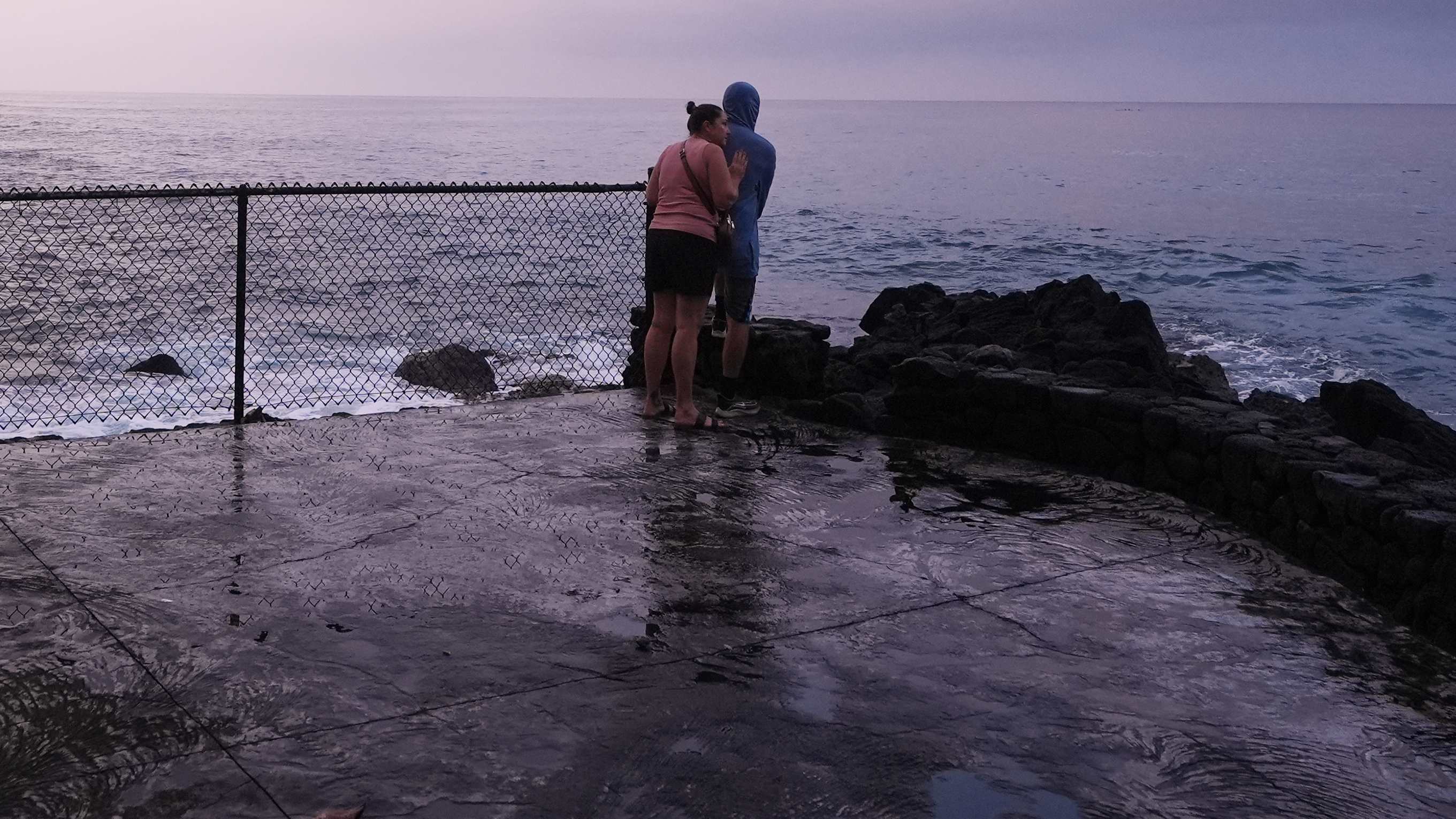
The residents of Hawaii are once again facing a state of high alert as Hurricane Nolo rapidly strengthens into a Category 2 storm. This development is not an isolated incident but the latest link in a relentless chain of tropical activity that has tested the islands' resilience.
In this comprehensive deep dive, we analyze the mechanics of Nolo's intensification, the atmospheric influence of the super El Niño, and the critical safety measures required to navigate this increasingly volatile environmental landscape.
📑 Table of Contents
1. The Rapid Intensification of Hurricane Nolo
Hurricane Nolo has demonstrated the terrifying power of tropical cyclones in the central Pacific. Located approximately 185 miles south of Hawaii's Big Island, the storm underwent a process known as rapid intensification on Friday morning. In meteorological terms, this phenomenon is defined as an increase in maximum sustained wind speeds of at least 35 mph within a 24-hour period.
The speed at which Nolo reached Category 2 status has caught many emergency management teams off-guard. As the storm moves generally north, the southern islands are in the direct path of concern, bringing high winds and significant surges that could impact infrastructure and coastal areas.
Understanding Category 2 Strengths
A Category 2 hurricane carries sustained winds between 96 and 110 mph. At this intensity, dangerous storm surges can cause significant structural damage to trees and homes, with power outages lasting several days.
2. The Role of Super El Niño in Pacific Storms
To understand why Hawaii is experiencing such frequent threats, one must look at the global climate patterns. This year has been characterized by a 'super El Niño,' an oceanic and atmospheric phenomenon that warms sea surface temperatures in the equatorial Pacific. This warmth acts as high-octane fuel for tropical storms, allowing them to grow larger and faster.
El Niño shifts atmospheric circulation, often reducing wind shear that would otherwise tear storms apart. For Hawaii, this means a season where storms are not only more likely to form but also more persistent as they move toward the archipelago.
Atmospheric Conditions for Growth
The combination of record-ocean temperatures and low atmospheric pressure has created a perfect storm for cyclones like Nolo to emerge and mature in unusually short windows.
3. Threat Assessment: Flooding and Mudslides

While winds are a significant concern, the most lethal threat from Hurricane Nolo may be the water. Hawaii's rugged terrain makes it highly susceptible to extreme rainfall events. When the ground is already saturated from previous storms, the soil cannot absorb more moisture, leading to catastrophic runoff.
Life-threatening flooding and mudslides are the primary warnings for residents, particularly in the steep regions of the Big Island and Maui. These geological hazards can block roads, destroy homes, and isolate entire communities from emergency services.
The Danger of Saturated Soilopes
Because Hawaii has faced three impactful storms in just six weeks, the landscape is at its breaking point. Even moderate rainfall from Nolo could trigger massive landslides on previously unstable slopes.
4. Hawaii's Triple Threat
The state is currently grappling with its third impactful swipe from a hurricane within a six-week window. This frequency is rare and places immense strain on local resources and mental health. Each storm leaves less time for recovery, meaning the community is often in a vulnerable state when the next threat arrives.
The cumulative effect of these storms cannot be understated. Infrastructure that survived the first two storms may be weakened and fail under the third. The psychological toll of constant vigilance is also a factor that authorities consider as they prepare for Nolo.
Resilience Under Pressure
Emergency services are working at double capacity, managing the aftermath of previous events while simultaneously preparing for the landfall of the current Category 2 threat.
5. The Future of Extreme Weather Patterns
The trajectory of Hurricane Nolo is a harbinger of a new reality. As global temperatures rise, the energy available in the oceans increases, making rapid intensification events more common rather than exceptional. We are moving into an era where 'unprecedented' storm seasons become the new baseline.
Long-term urban planning and infrastructure development in Hawaii must now prioritize climate resilience. This includes building better drainage systems, reinforcing hillsides, and enhancing early warning systems to keep pace with the speed of modern storm development.
Adaptation as Survival
Investing in climate adaptation technology and resilient architecture will be the only way for island nations to withstand the increasing frequency of extreme Pacific weather events.
🔥 Stay tuned for real-time weather updates and safety protocols as Nolo develops.
Conclusion
Hurricane Nolo serves as a stark reminder of the volatile nature of the Pacific during a super El Niño. As Hawaii faces its third major threat in weeks, the focus remains on safety and the mitigation of flooding risks.
We must stay informed about these evolving climate patterns to better prepare for a future defined by frequent extreme weather events.
❓ FAQ
How strong is Hurricane Nolo currently?
Nolo has rapidly intensified to a Category 2 hurricane with sustained winds between 96 and 110 mph.
Why are there so many storms lately?
The super El Niño provides warmer ocean temperatures which act as fuel for storms to develop and intensify.
What is the main danger besides wind?
The main dangers are life-threatening flooding and mudslides caused by heavy rainfall on saturated soil.
How many storms has Hawaii faced recently?
Hawaii has faced its third impactful hurricane swipe in just the last six weeks.
What is rapid intensification?
It is an increase in maximum sustained wind speeds of at least 35 mph within 24 hours.
Comments
Post a Comment